The Stones River, Murfreesboro Rain, and Mold After High Water
Murfreesboro sits between the forks of the Stones River, and its creeks run through neighborhoods. The gauges show that the big floods are not only history: two of the West Fork's highest peaks came in the last five years.
The West Fork Stones River at Murfreesboro set its record at 31,000 cubic feet per second on March 13, 1975, and its third and fourth highest peaks came on May 9, 2024 and March 28, 2021 (USGS). After a flood or heavy storm, drying inside a day or two is what keeps mold from following, per the EPA.
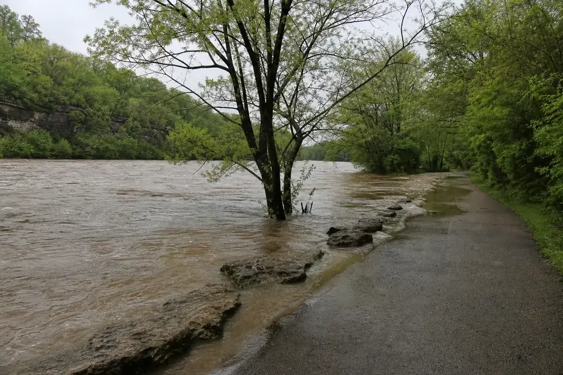
What the Stones River gauges show
- West Fork Stones River at Murfreesboro. 49 annual peaks since 1973. Highest: March 13, 1975, 31,000 cfs; then March 15, 1973; May 9, 2024; and March 28, 2021.
- East Fork Stones River near Lascassas. Records back to 1951. Highest: March 13, 1975, 41,200 cfs, with March 28, 2021 third.
- West Fork near Smyrna. Highest March 13, 1975; second May 3, 2010, at 57,600 cfs.
- Lytle Creek at Sanbyrn Drive, inside the city. Highest February 6, 2020, at 2,150 cfs.
All figures are USGS annual peak flows.
Rain that keeps coming
The Murfreesboro 5 N station averages 55.9 inches of rain a year, about 5 inches more than Nashville's airport, over 86.7 days with at least a tenth of an inch (NOAA 1991–2020). June, at 5.68 inches, and December, at 5.54, are the wettest months, and 16.6 days a year bring an inch or more. That is plenty of chances for a clogged gutter, a low spot by the foundation or a window that leaks at its flashing to wet a wall.
Checking a house after high water
- Look at the lowest floor, garage and any finished space at grade for wet carpet, swollen baseboards and a water line on drywall.
- Check the ceiling under windows and doors on the side the storm came from.
- Use a moisture meter on walls that look dry; water wicks above the visible line.
- Start drying at once, and remove wet carpet pad and insulation.
See water damage and mold for the full first-48-hours list, and the Murfreesboro mold removal cost guide for prices.
Flood water is different from pipe water
River and creek water carries silt and sewage, so more porous material is thrown out after a flood than after a clean supply-line leak. A standard homeowners policy generally leaves flood damage out; that takes separate flood insurance, so find your declarations page before the work begins.
Sources
- USGS peak streamflow: West Fork Stones River at Murfreesboro (03428200)
- USGS peak streamflow: East Fork Stones River near Lascassas (03427500)
- USGS peak streamflow: Lytle Creek at Sanbyrn Drive, Murfreesboro (03428043)
- NOAA NCEI U.S. Climate Normals 1991-2020
- EPA: A Brief Guide to Mold, Moisture and Your Home
What happened, and where is the mold?
Tell the specialist roughly when the house was built, the room, and what got wet: a pipe, a storm, the river, or nothing you can name. If walls or floors will need rebuilding, mention it. A mold specialist serving Murfreesboro receives your note and replies.